
About Us

Vision
Our vision is to be the preferred and trusted provider of precise geospatial information and surveying services. We aspire to set industry benchmarks for accuracy and reliability, earning a reputation for excellence in the field. By leveraging cutting-edge technology, fostering a culture of continuous learning, and building strong client relationships, we aim to be at the forefront of the surveying industry and contribute to the advancement of geospatial knowledge.
Our Story
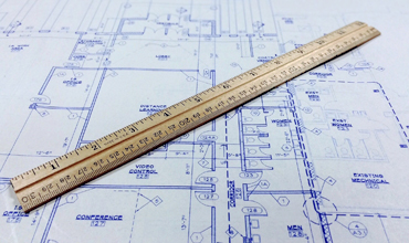
Siyeza Precise Surveys is a professional land surveying company established in 2018. With a commitment to excellence and accuracy, we provide comprehensive surveying services to clients in various industries. Our goal is to deliver reliable and precise survey data that helps our clients make informed decisions and achieve successful project outcomes.
Using state-of-the-art surveying equipment and modern techniques, our qualified team of surveyors ensures consistent, accurate, and timely data collection and mapping. We understand the importance of precise survey information for architectural designs, construction projects, and property development. By delivering detailed topographical surveys, as-builts, construction layouts, and more, we help our clients seamlessly integrate their designs with site conditions and minimize potential issues.
Mission
Our mission is to provide exceptional land surveying services that consistently exceed client expectations. We strive to deliver accurate, reliable, and timely survey data and mapping while maintaining the highest standards of professionalism and integrity. Through our expertise and advanced technology, we aim to contribute to the success and growth of our clients’ projects.
What We Offer
At Siyeza Precise Surveys, we offer a comprehensive range of professional land surveying services, utilizing state-of-the-art equipment and advanced techniques to deliver accurate and reliable geospatial solutions. Our experienced team of surveyors is committed to providing precise data and mapping services to support various industries and projects. Here are the services we offer.
Engineering Survey
Topographical and Detailed Survey, As-builts, Construction Layout, Benchmarks Establishment, Road Layout, Monitoring of Structure, Volumes/Quantity Calculations, Precise Engineering Surveys, Building Grid Lines Establishment
Cadastral Survey
Servitude Survey, Boundary Survey, Sectional Titles, Farm Surveys, Property Subdivision, Service Detection